I-Orient
Stephanie Slee (2019) in cooperation with VDL coached by Simone de Waart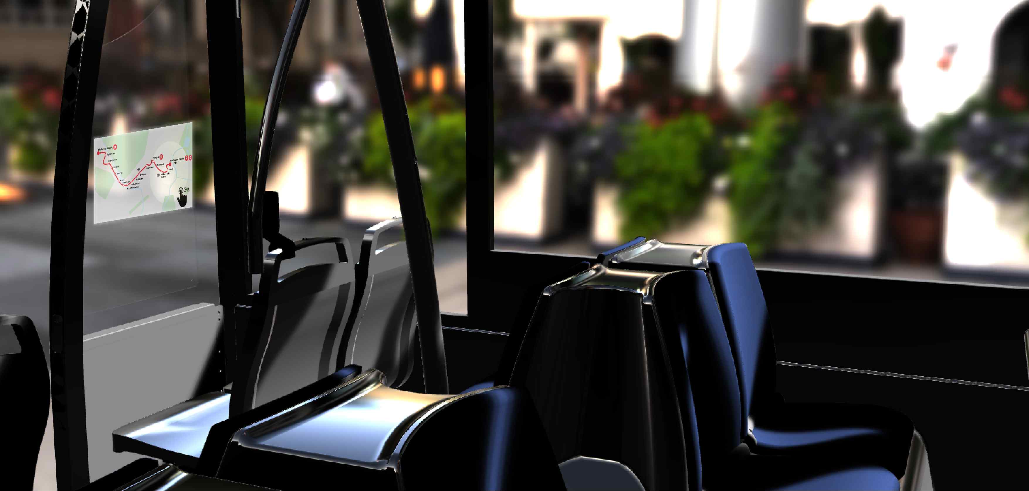
Description
Encourage the usage of public transport, by providing guidance through orientation for city bus travellers that experience barriers to public transport. An interactive guidance during the travel will give people perceived control and motivate others to start using public transport, while promoting sustainability in cities.
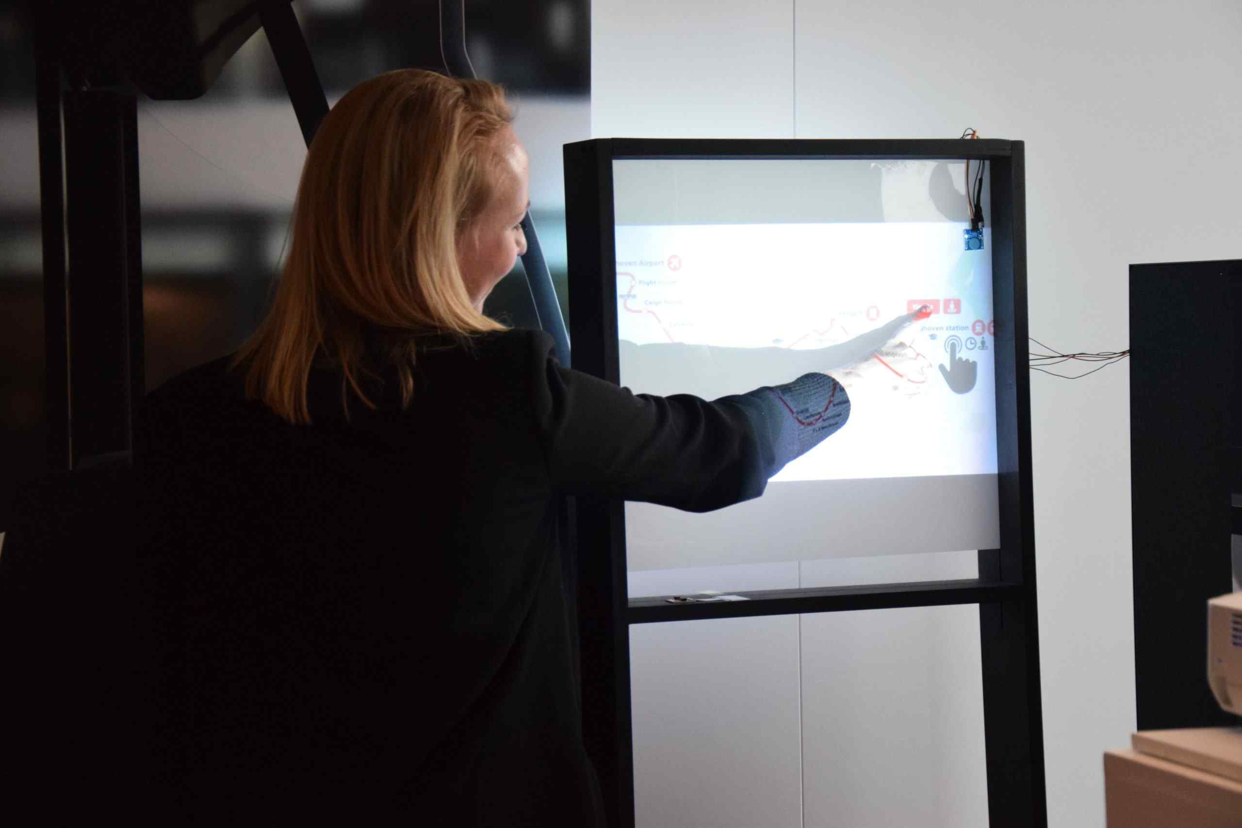
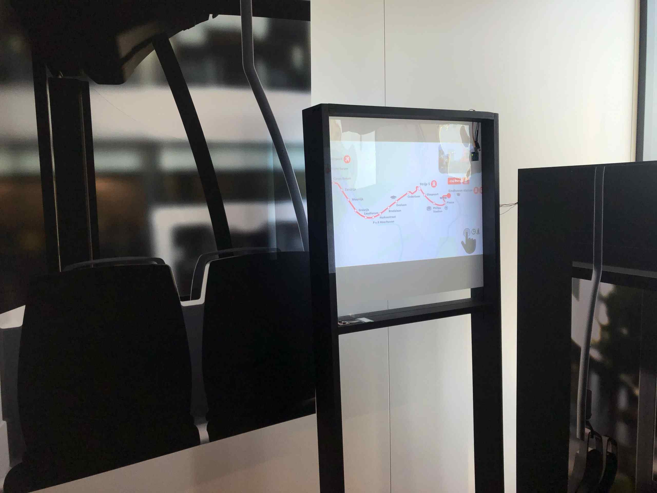
I-Orient is an interactive city map of Eindhoven placed in the city bus connecting Eindhoven Airport with Eindhoven station. The aim of the map is to help passengers orient themselves when arriving for the first time in a new city. The map provides a very intuitive interaction by touching the bullets of the stops and providing haptic feedback. The interaction permits to see the remaining time to a stop and the street view of the arrival point. In comparison with the existing services provided by the bus, which do only tell you the next stops, I-Orient is a map understandable for every user, provides real orientation and helps the passenger not only during the trip, but also a step further with the street view function. The concept aims at a more sustainable city by promoting the use of public transport among citizens.